Troubled waters: Interactive map showing floods in Europe over the last two years

Átlátszó and the Greek investigative portal MIIR, as members of the European Data Journalism Network, are presenting a joint report on the most devastating floods in Europe over the past two years. The region of Thessaly in Greece, the Valencia region in Spain and the Saxony-Anhalt region in Germany faced the most devastating floods in 2023 and 2024.
In September 2024, the Danube had its worst flooding in more than a decade. Heavy rainfall from cyclone Boris raised the water levels of several rivers, including the Danube and its tributaries, causing flooding in Austria, the Czech Republic, Poland, Slovakia and Romania, as well as in Hungary.

On 21 September, the Danube in Budapest reached a level of 830 centimetres, and the lower embankment was under water for days. Although a flood of this magnitude could cause considerable disruption to everyday life in Hungary, it can only be considered a minor flood in comparison to all the floods of recent years in Europe. According to data from the Copernicus Emergency Management Service (CEMS), a total of 32 floods were recorded in 17 EU Member States in 2023 and 2024, of which Hungary was the 13th most extensive.

In collaboration with the Greek investigative portal MIIR, we have created an interactive map article on the floods of the past two years, showing the biggest floods, the damage they caused to infrastructure and agriculture, the number of people affected and the lives lost.
Troubled waters
Flood data from the last decade show at least 681,076 people affected and 1,579 lives lost in Europe, while satellite data from the past two years reveal damage to farmland, roads, railways, pipelines, and communication infrastructure.
“The flood changed our lives. My children are scared every time it rains. My son had a panic attack when the bridges were closed again in Faenza, thinking that everything would happen again. Even I can’t help but look at the river every time I pass over it. Now I live day by day. Everything can change in an instant. I lost everything in half an hour”
Francesca Placci, a resident of the Italian town of Faenza in the province of Ravenna, Emilia-Romagna. Faenza was flooded 3 times in 18 months.
Floods are the most common natural disaster. Their frequency has more than doubled since 2004 due to an accelerating hydrological cycle driven by human-induced climate change. Over the past 30 years, floods in Europe have affected 5,5 million people, caused nearly 3,000 deaths, and led to economic losses exceeding €170 billion. But these figures are only estimations.
We combined data from three distinct databases to construct the first comprehensive dataset, tracking floods, number of affected people, and deaths across European regions from 2014 to 2024. Moreover, we built a separate dataset based on satellite data from the past two years that shows the flood extent and its impact on land and infrastructure across member state regions.
Between 2014 and 2024, data collected from Copernicus, the public EM-DAT database, and Hanze database indicate that at least 681,076 people have been affected by floods across 24 European countries. However, the number of people affected is an understatement as data is not available for all floods. Based on the existing data we analysed, at least 1,579 people have died due to floods in Europe over the past decade.
According to the Institute for Environmental Research and Sustainable Development of the National Observatory of Athens, floods in the Balkans with more than 10 deaths occur once every 6,5 years and with more than 22 deaths once every 12 years.
This article continues, the full, interactive version in English is available on the Átló site.
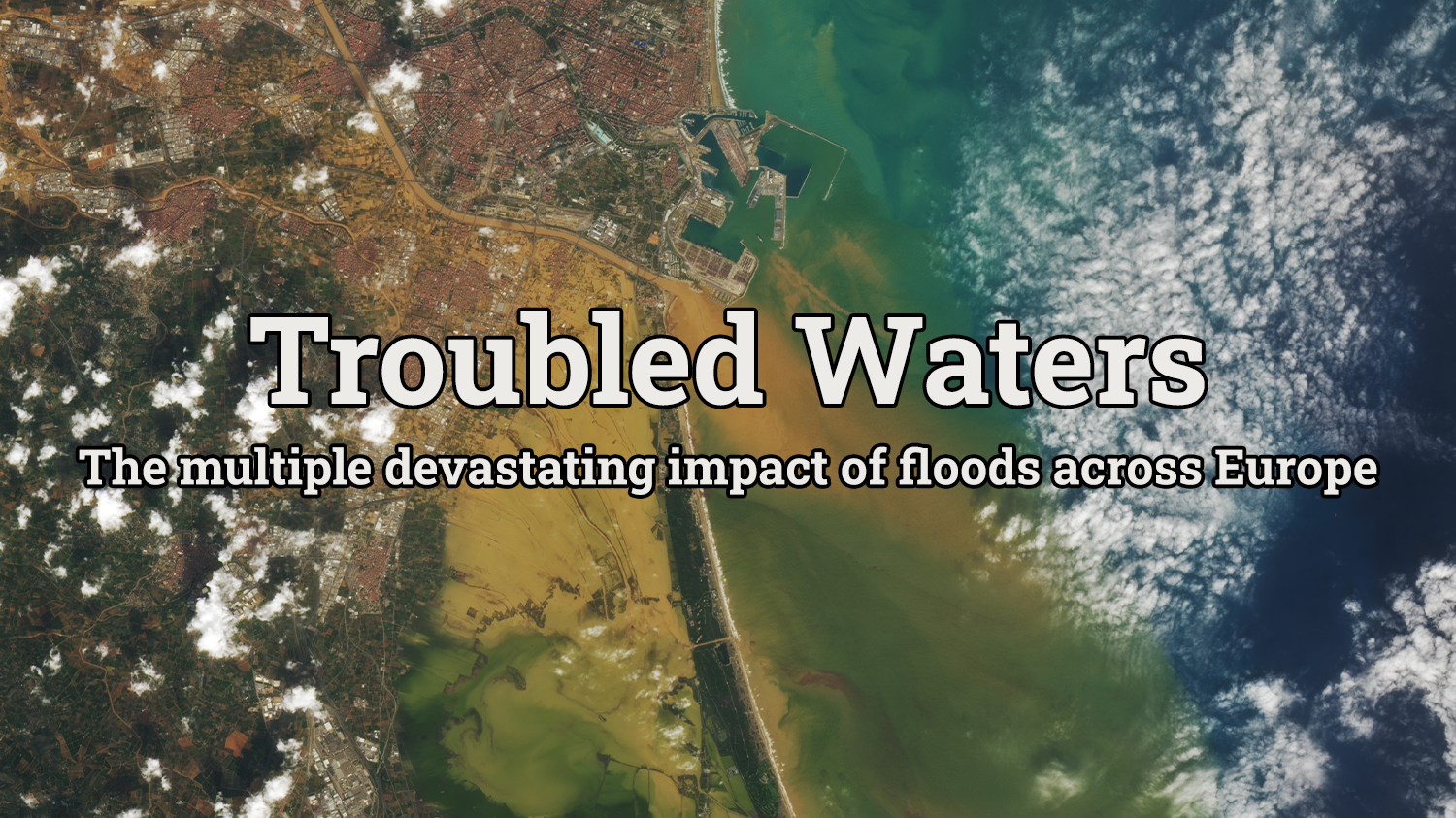
Written and translated by Krisztián Szabó. The Hungarian version of this story is here. Cover image: Floods in the Valencia region of Spain on 30 October 2024. Source: NASA Earth Observatory
Share:
Your support matters. Your donation helps us to uncover the truth.
- PayPal
- Bank transfer
- Patreon
- Benevity
Support our work with a PayPal donation to the Átlátszónet Foundation! Thank you.
Support our work by bank transfer to the account of the Átlátszónet Foundation. Please add in the comments: “Donation”
Beneficiary: Átlátszónet Alapítvány, bank name and address: Raiffeisen Bank, H-1054 Budapest, Akadémia utca 6.
EUR: IBAN HU36 1201 1265 0142 5189 0040 0002
USD: IBAN HU36 1201 1265 0142 5189 0050 0009
HUF: IBAN HU78 1201 1265 0142 5189 0030 0005
SWIFT: UBRTHUHB
Be a follower on Patreon
Support us on Benevity!